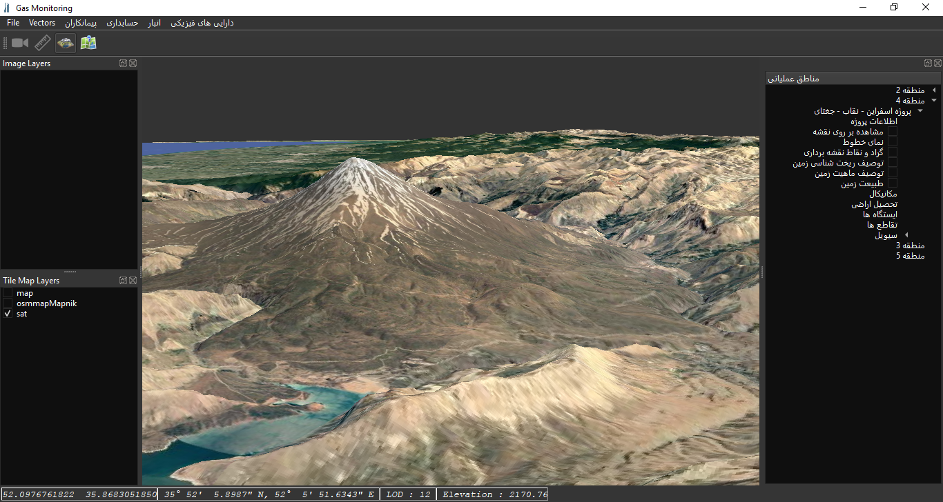
Geographical Intelligent System
Our Integrated Pipeline Document & Geo-Information Management System is an innovative, knowledge-based software solution designed to digitalize and streamline the management of pipeline construction projects in oil, gas, water, and other linear infrastructures. This platform centralizes all project documents — including technical files, AutoCAD drawings, as-built records, daily site reports, radiographic test files, maps, satellite imagery, and legal land-acquisition documents — and intelligently organizes them. All data is seamlessly visualized on GIS maps in 2D and 3D, delivering full situational awareness and precise project monitoring. The result? Fast, intelligent access to mission-critical data, elimination of physical archives, enhanced decision-making, and the creation of a long-term, reliable knowledge base for your organization

