
SIBANA
Geographical Intelligence Infrastructure for Pipeline Projects
From fragmented GIS, documents and land records
to governed, traceable and decision‑ready infrastructure intelligence
Why Pipeline Projects Fail at Information Level
Pipeline projects generate massive spatial, technical and legal data. Yet these datasets often remain fragmented across disconnected GIS systems, paper‑based archives and isolated contractor workflows. The absence of governance, traceability and spatial intelligence directly impacts decision quality, cost control and risk management.
What SIBANA Really Is
SIBANA is not a GIS software.
SIBANA is not a document archive.
SIBANA is a GIS‑centric intelligence infrastructure that unifies spatial data,
engineering documents, land ownership records and AI‑driven analytics
into a single governable system for national‑scale pipeline projects.
Core Intelligence Modules
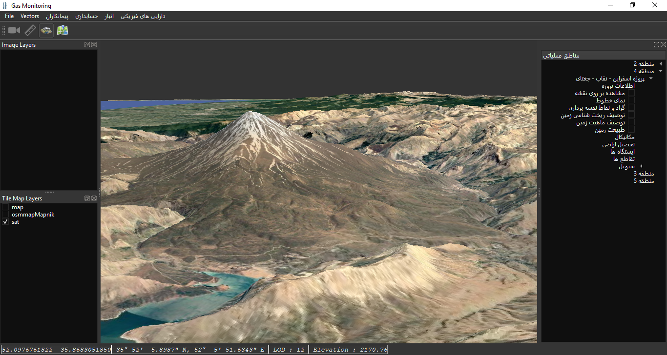
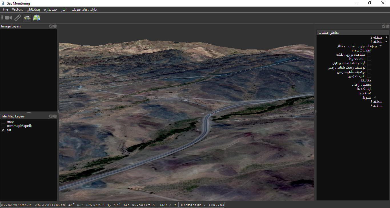
Civil & Geotechnical Intelligence
2D/3D GIS visualization, cut & fill analysis, AutoCAD/BIM integration, volume control and AI‑based slope stability prediction powered by real‑time spatial processing pipelines.
Land Acquisition & Legal Governance
Parcel‑based GIS analysis, ownership mapping, permit tracking, compensation finance, and spatial legal audit across the entire pipeline corridor.
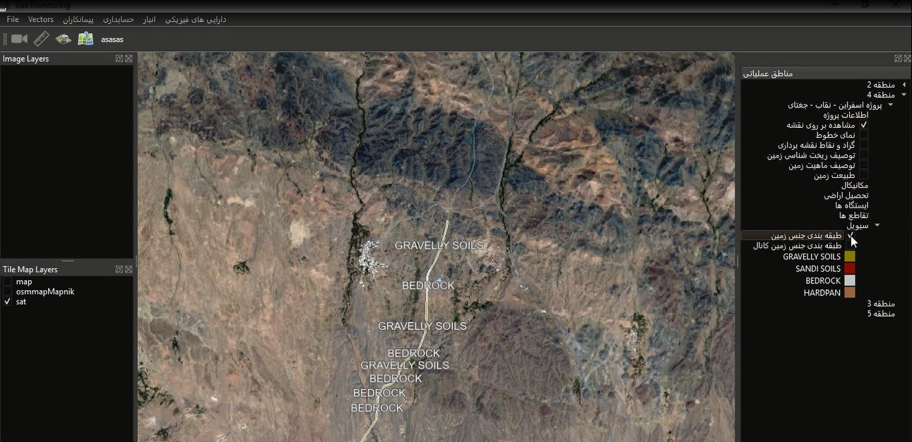
AI Document–Map Intelligence
OCR and NLP‑driven document understanding, spatial document matching, duplicate and anomaly detection, and AI‑based quality and compliance scoring.
Multi‑Layer Technical Architecture
SIBANA is built as a layered intelligence platform, integrating GIS rendering, document management, AI analytics and governance‑ready workflows.
Decision & Intelligence Layer
AI Risk Alerts | Executive Dashboards | Compliance Analytics

Business & Workflow Layer
Quality Assurance | Validation Rules | Version Control

GIS & DMS Core Layer
Spatial Databases | Document Index | 2D/3D Rendering Engine

ETL & Data Ingestion Layer
CAD / BIM | Surveys | Field Reports | OCR & NLP Pipelines
From Data to Decision
Ingest
Survey data, CAD/BIM files, reports and scanned documents.
Standardize
ETL, coordinate transformation, validation and spatial linking.
Analyze
AI‑driven quality checks, risk detection and anomaly analysis.
Decide
Executive dashboards, alerts and auditable decision records.
Enterprise & National Readiness
Designed for multi‑contractor environments, SIBANA supports role‑based access control, versioned project data, secure web interfaces for contractors, and high‑performance desktop GIS systems for the employer.
Why SIBANA Is Infrastructure
SIBANA institutionalizes engineering knowledge, enforces spatial and document governance, and transforms pipeline projects into measurable, auditable and sustainable national assets.